




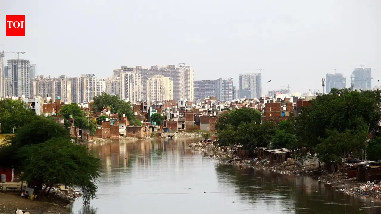

Ghaziabad: Three years after the National Green Tribunal directed UP irrigation department to demarcate the 850 square kilometre (sq km) Hindon floodplains in Ghaziabad and Noida following the 2023 floods, the work remains incomplete.The NGT’s directive came after a flood in 2023 inundated several settlements along the Hindon’s course in the two NCR cities. The state irrigation department had initially committed to completing the demarcation by July last year. However, it had sought an extension till Nov, citing delays in complex drone survey processes.The NGT, in its May 25 order, directed the irrigation department and Survey of India to hold a joint meeting to resolve the issues delaying the demarcation and submit a progress report at least a week before the next hearing on Sept 1.Irrigation department executive engineer Raj Kumar Verma said the delay stemmed from a technical problem over contour mapping. “The Survey of India, tasked with contour mapping the Hindon floodplain, has flagged some technical problems. On the river’s right bank in both the NCR cities, the highest flood level has been marked, but the corresponding contour line on the left bank is not marked. Consequently, it is not possible to identify the floodplain zone points on the left side of the river,” Verma said.Petitioner Alok Kumar said the delay had left the city vulnerable ahead of the monsoon. “Immediately after the Hindon flood in 2023, I pleaded before the NGT to direct authorities to define and demarcate the floodplain and secure it so that loss of life and property could be avoided. But even after three years, the actual work of constructing embankments has not taken place,” he said.The delay comes as matter of concern, he said, as several districts in the upper catchment areas of the river received heavy rainfall earlier this week.The irrigation department had built about 52.5 km of embankment along both banks of the Hindon, which runs roughly 104 km from Mataur village in Ghaziabad. Only 8 km of the river’s course in the city is embanked, leaving the remaining 58.5 km, including areas such as Karhera, Ator-Nagla and Kanawani, open to encroachment. Karhera and Ator-Nagla were among the worst-hit areas during the 2023 floods.Hindon enters Noida at NH-9 and flows 45.5 km through 28 villages before joining the Yamuna at Momnathal in Greater Noida’s Sector 150. To protect its floodplain, the department has constructed 42.5 km of embankment on both banks in Noida. Over the years, however, settlements and illegal colonies have come up on the floodplain.
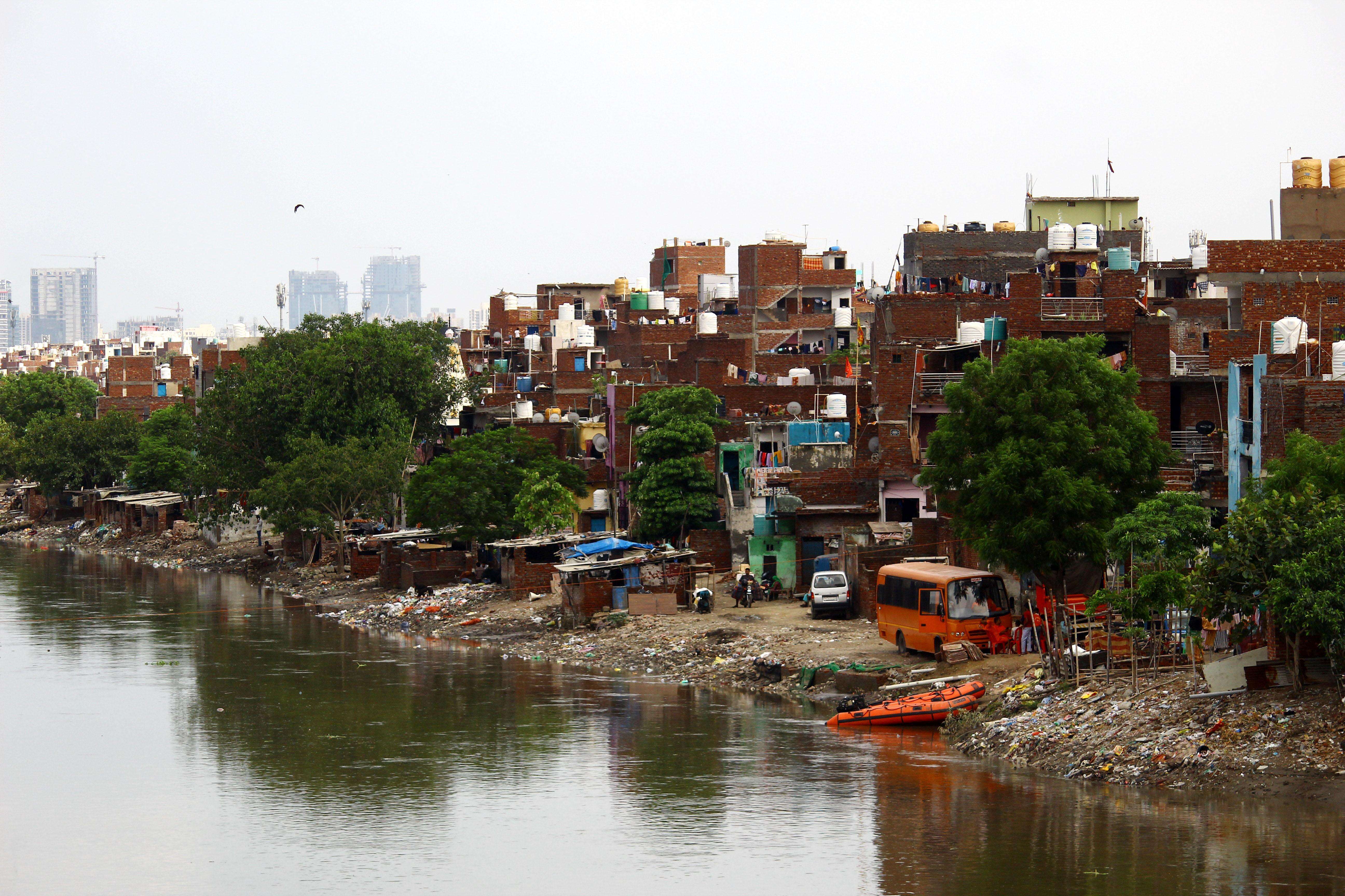
Hindon enters Noida at NH-9 and flows 45.5 km through 28 villages before joining the Yamuna at Momnathal in Greater Noida’s Sector 150