









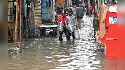
Surat: Surveying of 35km of Surat’s 188km of creeks has been completed, as part of an effort to find long-term solutions to issue of creek flooding, with data for around 23km already processed. The survey is being conducted using Differential Global Positioning System (DGPS) and drones.The findings were discussed at a meeting of the Surat Municipal Corporation’s creek flood mitigation committee on Monday, which reviewed the survey work and preparations for the detailed project report, including a hydrology model to understand and address creek flooding.Officials said multiple datasets were being analysed to develop a comprehensive picture of the city’s creek system and flooding patterns. These include rainfall data, effluent discharge from GPCB-registered industries, high flood level (HFL) records from recent creek floods, tidal data from 2020 to 2026, creek cross-sections, topographic information, stormwater outlet data and a 2025 drone-based visual survey.The study will also consider previous flood reports, the proposed ring road alignment, irrigation department canal escape and siphon details, and records of govt land, wasteland and lakes.Officials are also collecting data on stormwater outlets near the national highway, bridges across various creeks, and structural details of the Dedicated Freight Corridor (DFCC) and Surat-Mumbai Expressway, besides additional govt land records.The committee directed officials to immediately survey the danger level of Mithikhadi creek and submit a revised assessment. It also decided to identify specific stretches where desilting or dredging could improve water flow and submit recommendations.After clearance related to air traffic control restrictions, the consultant has been instructed to begin drone surveys in the airport’s restricted zone from Tuesday.The committee also discussed options for retaining or diverting creek floodwater near Biodiversity Park in Bamroli. In Varachha, a proposal was discussed to divert water from Varachha creek directly into the Tapi through the floodgate beneath Chikuwadi-Kalakunj River Bridge, instead of routing it towards Koyali creek.