


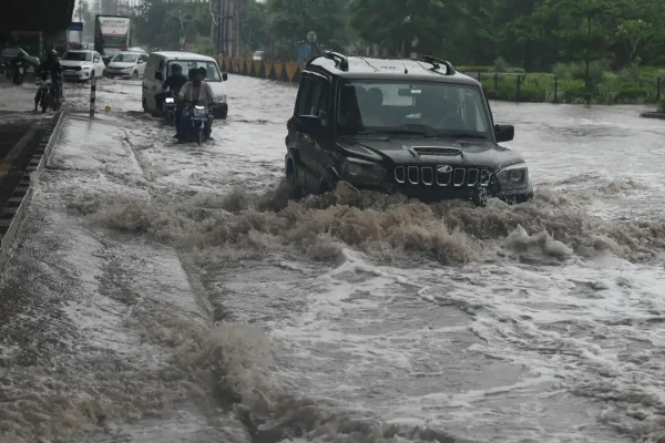
How to channel rainwater out of city? Drones to find out | Gurgaon News
The survey will use high-resolution aerial mapping to capture the city’s terrain, natural slopes, existing drains, water channels, low-lying areas and built-up regions Gurgaon: A drone survey will soon map Gurgaon’s terrain to help identify an alternative route for carrying excess rainwater out of the city, a move aimed at reducing monsoon flooding and creating…